Friday 31 January 2014

TALES OF THE RIVERBANK

The Wanganui River was a vital communications link to the Central North Island area for pioneers.  It was the only practicable option for moving goods and materials through the otherwise impenetrable bush.


An extensive fleet of riverboats worked the river and paddle steamers were an effective solution for negotiating the numerous rapids in the middle and upper reaches of the river.  They thrived until the river road was completed and then they fell in to disuse.

The Waimarie is the only remaining paddle steamer from New Zealand’s golden river boat era.  It was restored as a millennium project after having been sunk into the river bed for 41 years.

Our riverside stopover at Wanganui was a perfect opportunity to experience a taste of a long lost time.

Wanganui River Top 10 Holiday Park

Our cruise of the river was a relaxed, uncrowded and friendly trip.  Our cargo was a box of carrier pigeons that were released with our messages at the upstream turning point.  Again, a reminder of how things were before even the electric telegraph had been invented and before Morse had written his code.

Waimarie Paddle Steamer


With a strong breeze blowing and a tidal race, Captain ‘Trev’ and his crew had to fully demonstrate their professional skills in bringing Waimarie safely back alongside the quay.  Meanwhile, the homing pigeons looked on in amusement from the nearby rooftop of the riverboat museum.

Coming Alongside the Quay


A really enjoyable trip and a great Kiwi welcome from the Waimarie team.

Wednesday 29 January 2014

NEW VERSUS OLD

I am quite fond of Devon's old Plymouth; it has family history and is the place of my own birth so it has significance.  It is also a lovely place for those few days a year when it stops raining.  We were keen to see how New Plymouth in the Taranaki region compares.


Well, they are both on the sea with harbours and busy working ports.  They both also appeal to tourists.  Whilst old Plymouth has the sea front walk along the Hoe with Smeaton’s original lighthouse, New Plymouth has it’s award winning 11km Coastal Walkway complete with the 45m high kinetic sculpture, the Wind Wand.

Harbour and Mt Taranaki


The Wind Wand

Beach View from Coastal Walkway

The sea front of old Plymouth has activities for young people; there is the Sea Life Centre and the sea water Lido.  New Plymouth has several bustling surf and life saving clubs, a leisure pool complex and a roller activities centre.

Away from the sea front, old Plymouth has the green space of Home Park; host to Plymouth Argyle FC.  New Plymouth has Pukekura Park, a wonderful oasis close to the vibrant urban centre with its sports ground and natural amphitheatre.

Pukekura Park


It is hard to pick a winner but New Plymouth has made a great first impression.  We loved exploring it on two wheels and on foot.  We leave with fondness for both Plymouths.


Tuesday 28 January 2014

AN UNFORGETTABLE DRIVE

This could have been our most enjoyable drive so far.  The 180km on State Highway 3 down the West Coast from Waitomo to New Plymouth seems to have almost everything: dramatic gorges; 180 degree switchbacks; single lane tunnels rough-cut through the rock; cliff hugging twists and turns with vertigo inducing sheer drops; stunning views of limestone hills, the Tasman Sea and Mt Taranaki; sweeping bridges across lovely river estuaries.  Almost everything that is, because there are no fuel stations!

Approaching the dramatic climb to the remote Mt Messenger, a momentary glance away from the challenging road ahead revealed a low fuel lamp flashing.   At the next rest area hearts sank as the satnav revealed the nearest fuel was 27km.  The driver was further shamed when the co-driver announced there was a sign at the start of our journey warning “No fuel for 150km”!

Anxiety increased with each kilometre as we continued on in the most fuel efficient way possible.  But how do you climb a mountain economically in a four tonne motorhome?

Eventually we reached the small township of Urenui and the cheery gas station attendant was sympathetic “a lot of tourists get caught out on this road”. 

We will never forget the delightful road between Waitomo and Mt Messenger and the township of Urenui will always be special!  As for the road from Mt Messenger onwards, we remember nothing except for the ‘distance to go’ counter on the satnav!

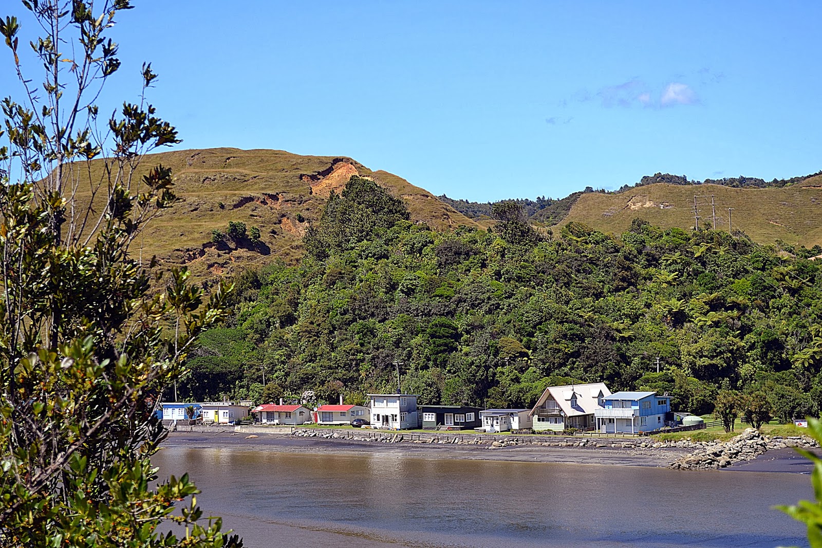
Three Sisters Beach near Tongaporutu


Monday 27 January 2014

WAITOMO’S UNDERGROUND – TAKING THE TUBE

From Orewa we followed Highway 1 south through Auckland towards Hamilton.  We criss-crossed the Waikato which is New Zealand’s longest river.  The Waikato features several hydro electric schemes on its path from volcanic Lake Taupo to the Tasman Sea.


On route we passed horsepower activities of different kinds; the drag racing meet at Meremere Raceway and a Rodeo.  North of Hamilton we left Highway 1 and continued to our destination, the small township at Waitomo.

 Waitomo Township


Waitomo Top 10 Holiday Park


The cave complex at Waitomo inevitably caters for thrill seekers with black water tubing down an underground river in inflatable rings over waterfalls and all in the dark too.  Or there is abseiling into a seemingly bottomless abyss in total darkness.  But we opted for a guided tour of Ruakuri Cave and the leisurely boat ride through the Glowworm Caves.

The tours of Ruakuri Cave are in small groups and pre-booked.  Our guide was highly enthusiastic, knowledgeable and engaging.  The 2 hour tour through breathtaking limestone rock formations much exceeded our expectations.

Ruakuri Cave


The tour of the Glowworm Cave was shorter, less intimate but certainly remarkable.  Drifting underneath thousands of glowworms on the cave roof was like staring up at an unfamiliar night sky in total darkness.

Glowworm Strands in Ruakuri

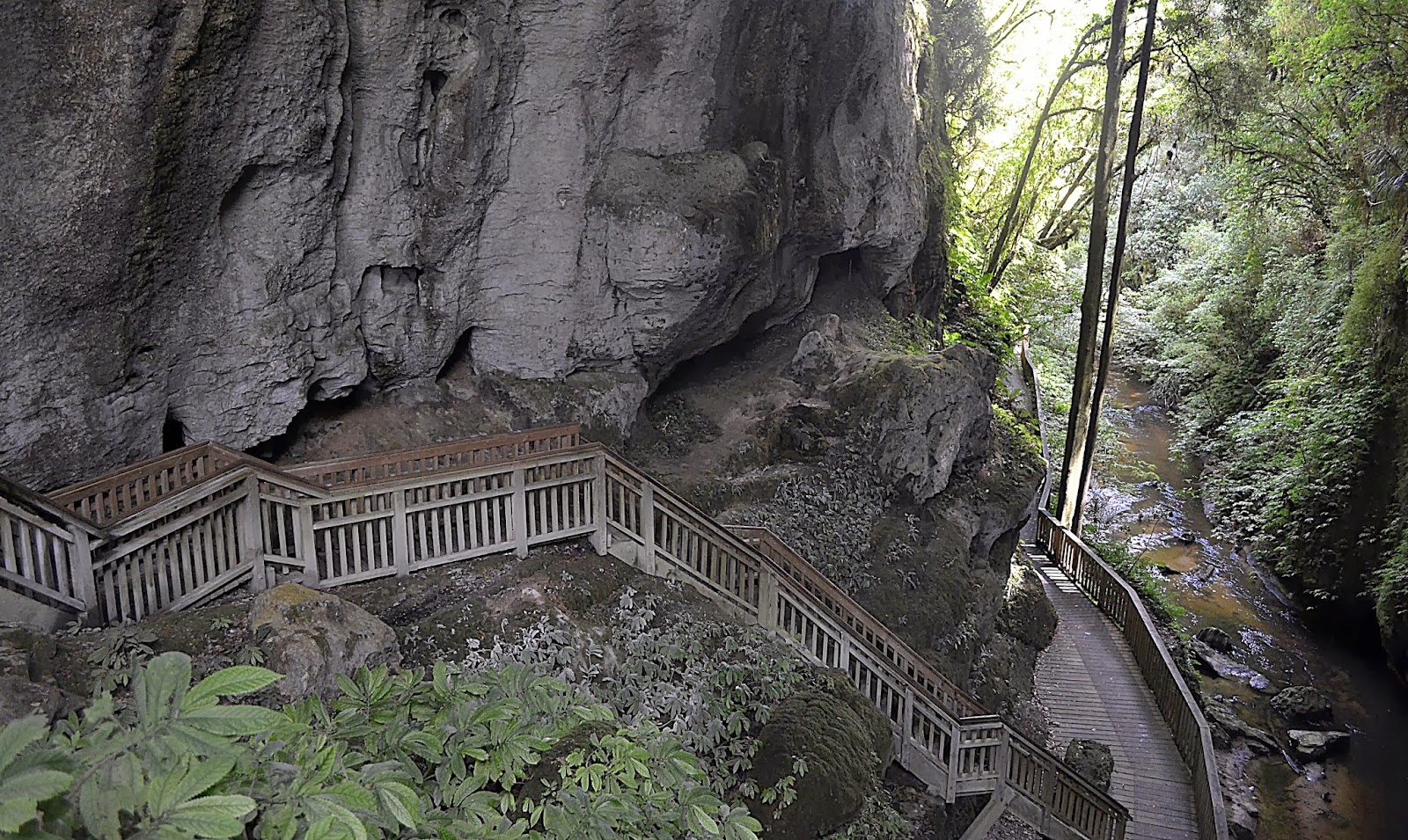
Other limestone rock formations in the area include the Natural Bridge just 30 minutes drive from Waitomo.  The bridge itself is the last remaining part of a cave roof that has otherwise collapsed into the river to form a gorge.

Under the Natural Bridge

Sunday 26 January 2014

BANK HOLIDAY BEACH PARTY

Our original tour plan was to head south from Russell down the west coast on Highway 12 to complete a loop of Northland.  But in the knowledge that it was a Bank Holiday weekend in the region to celebrate Auckland’s anniversary we expected traffic to be heavy.  With a long and potentially slow drive ahead we opted to retrace our steps on the more direct east coast route of Highway 1 and the Hibiscus Coast Highway.

Slow traffic on Hibiscus Coast Highway near Orewa

Once again we had chosen the beach front site at Orewa for our stopover.


We had stayed here on our first night but the tropical storm denied us the opportunity to explore.  This time the weather was fair and the beach was buzzing with Bank Holiday weekend visitors.

Next to our site was the summer beach party meet of the Hibiscus Rodders.  A collection of concourse prepared hot rods that would cruise the town on Saturday evening and then parade along the sea front boulevard on Sunday.

Hibiscus Rodders Summer Beach Party


With a brisk onshore wind the sea was packed with sail boarders and kite boarders.  Their acrobatics kept us entertained as we walked the length of the beach to the distant hill-top view point.

Kite boarding and sail boarding

Orewa Beach from Lookout

To the sounds of supercharged V8 American muscle cars we left Orewa for another flyby of Auckland city centre.  Across the harbour bridge and past the iconic Sky Tower once again on our way to the mighty Waikato River.

Auckland skyline from Northern Motorway


Saturday 25 January 2014

DOLPHINS AND CREAM

A boat trip is an absolute must when in the Bay of Islands, so for our second day in Russell, we just needed to decide which of the cruises to choose.  We opted for the so called Cream Trip also known as Day in the Bay.  This looked like much better value than the various half-day tours especially with the weather set fair and calm.  Our membership of Top 10 was worth a discount too.

The Cream Trip Catamaran

The catamaran starts out from Pahia just across the bay from Russell, so if you want to compete for the prime top deck seats then this would be a better option.  But in any case, as we guessed, at the first sight of dolphins everyone is moving around to get the best shots so it isn’t that important.

The Cream Trip refers to the historic route used to transport cream and other goods to and from the islands.  Tourists began to accompany the boat and the tour was born.  We actually had a delivery to make on our trip so the purposed designed tour boat is keeping in touch with its roots.

Many fellow cream trippers had paid the premium to swim with dolphins.  But the pod of dolphins that we quickly found included juveniles and calves.  Strict rules observed by the tour boats do not allow interaction in this case.  Despite this we were treated to a fantastic show of diving, bow riding and even tail walking.


For lunch we berthed at Otehei Bay on the pretty island of Urupukapuka.  After lunch it was out into the Pacific Ocean for the run to the end of Cape Brett Peninsula for viewing the Hole in the Rock.  With the favourable sea conditions, we were able to successfully navigate through the narrow gap.

Otehei Bay

 The Hole in the Rock


On the return trip some enjoyed Boom Netting.  Essentially the boat deploys a trawl net and drags a group through the water at speed.

Boom Netting

Our day in the bay is likely to be remembered as one of the overall highlights of our trip.  It is hard to capture the beauty of the scenery in any photograph and the encounter with the pod of dolphins was truly memorable.


We now turn the van around and head south for the next three weeks.

Friday 24 January 2014

THE HELL HOLE OF THE PACIFIC

A relatively short hop of just 70km north from Whangarei to reach our next stopover at Russell.


Even so, we found a couple of distractions on route.  A short detour into Kawakawa enabled us to view toilets designed by the Austrian born architect Hundertwasser of international renown and to see the historic Bay of Islands Railway.

Hundertwasser lived near Kawakawa for 27 years which explains why this anomaly of architecture exists here.  Whilst they are certainly interesting, and also the tiled bench across the road, we were a little underwhelmed.  In fact we initially drove past and missed them.

Hundertwasser's Toilets & Tiled Couch


The railway was definitely worth a look.  The general disrepair suggested a lack of cash but for us this only added to the appeal.  Unfortunately only a diesel service was running as we passed through.


Kawakawa Station

Next stop was the vehicle ferry at Opua.  Whilst there is a scenic route that avoids the ferry, it adds at least an hour to the journey.  We were keen to get to Russell to find out if its reputation lives up to its billing.

Opua to Okiato Ferry


Well, it didn’t disappoint.  A real beauty; a thoroughly charming and unspoilt town with a backdrop of both magnificent scenery and the azure waters of The Bay.
Russell

The short but challenging accent to Flagstaff Lookout is worth it for the panoramic views.  The return loop through the scenic reserve was full of the sounds of insects and the melodious Tuis calling across the valley to each other.

View from Flagstaff Lookout


View of Russell from Kororareka Point Scenic Reserve

Tui


On Chef’s day off, we enjoyed first class beer battered fish and chips at The Wharf on The Strand.  As we contentedly made the short walk back to our wonderful site, we were joined by a local fisherman who was heading home from the pub with his dog.  He chatted with us about his life in Russell.  Perhaps he had read our thoughts or just seen our broad smiles; either way, he confirmed that Russell’s old reputation as the hell hole of the Pacific with drunken sailors and rowdy whalers is history!

View from our site, Top 10 Holiday Park

Thursday 23 January 2014

WHANGAREI - "LOVE IT HERE!"

At 160km north of Auckland, Whangarei is the principal town of the Northland district.  Surprisingly pronounced “Phon-ga-ray”, we noticed that the strapline “Love It Here!” appears on all marketing material.


Our chosen base was the Whangarei Top 10 site which is close to the Hatea River and Mair Park.  Our riverside walk towards the A H Reed Memorial Kauri Park led us through sun dabbled native bush and across numerous boardwalks, with the constant babble of running water from the river below.  Clearly popular with runners, each one cheerily greeted us as they passed.  With this beautiful trail on their doorstep, we can see why it is preferred to a gym treadmill.

The Kauri Park features an elevated boardwalk through the canopy of the bush and amongst the ancient Kauri trees.  There is also the modest Pukenui waterfall to reward the final climb off the main track through denser bush.  The walk continues along the Hatea River and eventually emerges at the spectacular Whangerei Falls.  Without doubt this earned top spot in our growing inventory of waterfalls visited.


Kauri Canopy Walk


Whangarei Falls


The following morning we set off in search of the Town Basin and Marina in Whangarei Harbour.  On the outward leg we walked down Hatea Road and returned via the scenic riverside walk.

Wow!  The Town Basin and Marina impressed us greatly.  It was immaculately presented and landscaped with flair and originality.  The stone sculpture of a Maori Haka and Wave at the end of the harbour walkway was well worth seeing. There were elements of the Town Basin that reminded us of Disney’s interpretation of colonial architecture at Paradise Island in Disney World Florida.  But the real thing was far more pleasing and without the crowds too!

Town Basin and Marina


Maori Haka and Wave Sculpture

As we left site to head further north we both agreed that “We Love It Here!”